
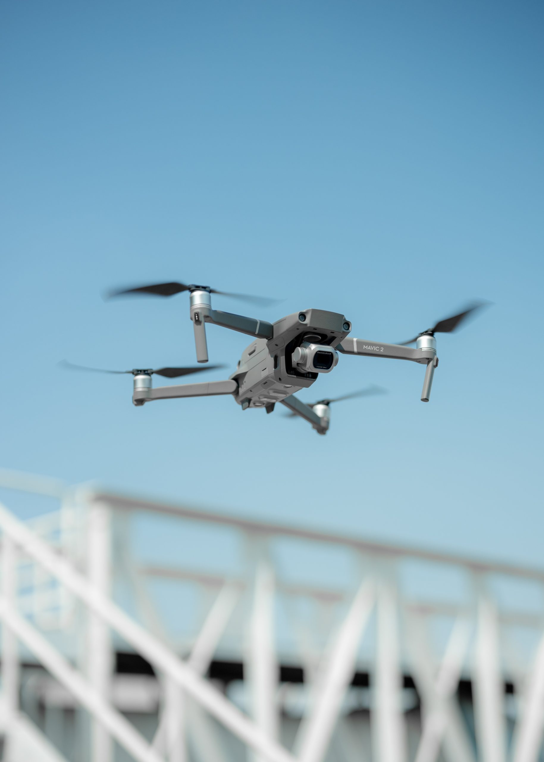
Drone Survey
drone survey involves the use of unmanned aerial vehicles (UAVs) equipped with sensors like RGB cameras, multispectral cameras, or LiDAR systems to collect high-resolution aerial data for mapping, analysis, and scientific research.
Drone applications
Environmental Monitoring: Drones facilitate the observation of ecological changes, wildlife habitats, and vegetation patterns, providing critical data for environmental assessments.
Agriculture: By capturing multispectral images, drones assist in evaluating crop health, soil conditions, and irrigation needs, contributing to precision agriculture practices.
Archaeology: Aerial imagery from drones aids in identifying and documenting archaeological sites, providing unique aerial perspectives that are difficult to obtain from the ground. LiDAR technology is especially useful for detecting hidden structures beneath dense vegetation.
Geology and Mining: Drones support geological surveys and mineral exploration by mapping terrain features and identifying geological formations. LiDAR-based elevation models help assess topography with high precision.
The integration of drone technology in scientific research enhances data collection efficiency, accuracy, and safety, improving comprehensive analysis in multiple scientific disciplines.