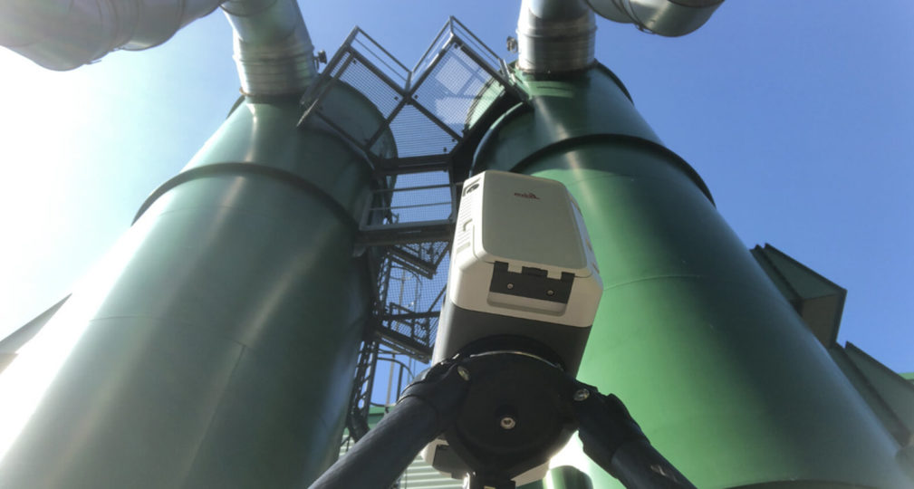
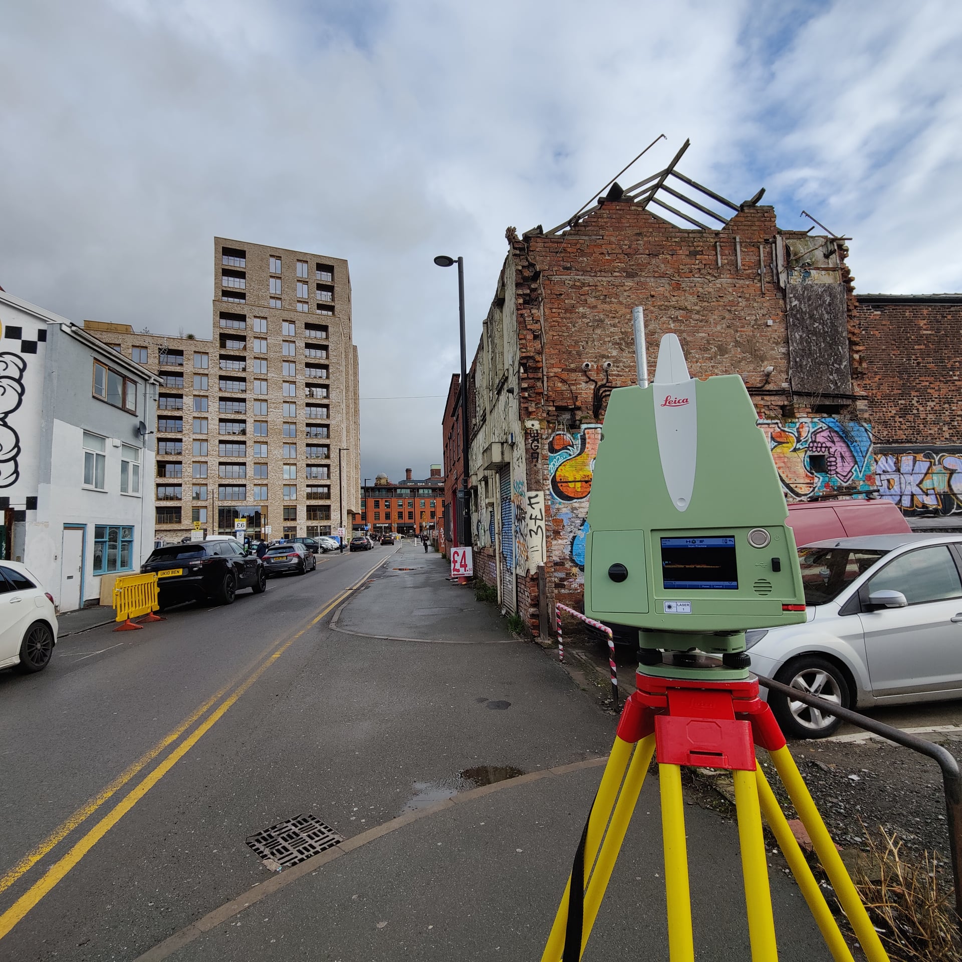
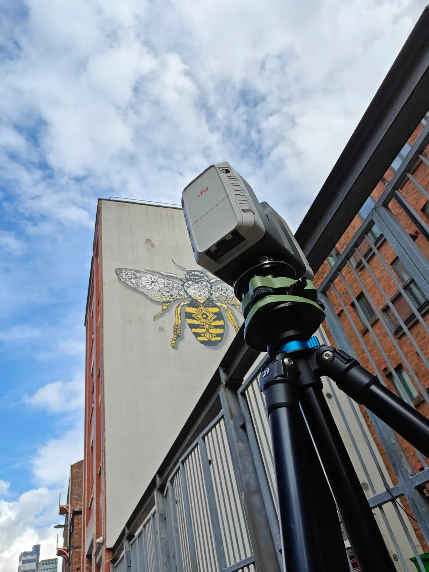
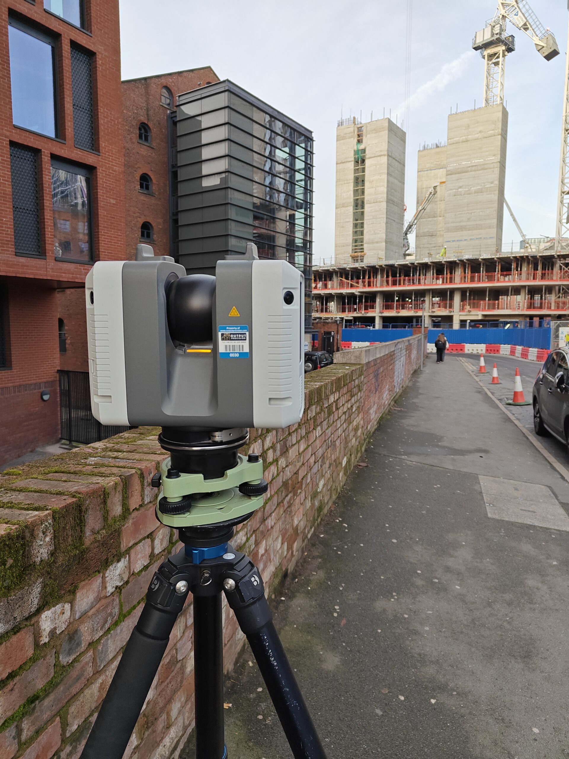
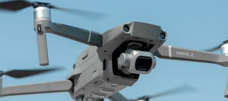
These platforms, often vehicles, are fitted with an integrated array of time-synchronized navigation sensors and imaging systems, such as GNSS (Global Navigation Satellite Systems), cameras, radar, laser scanners, or LiDAR (Light Detection and Ranging) sensors.
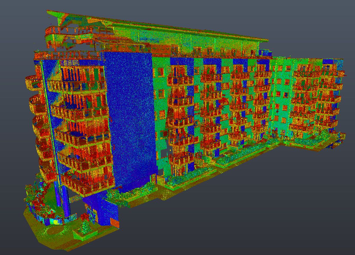
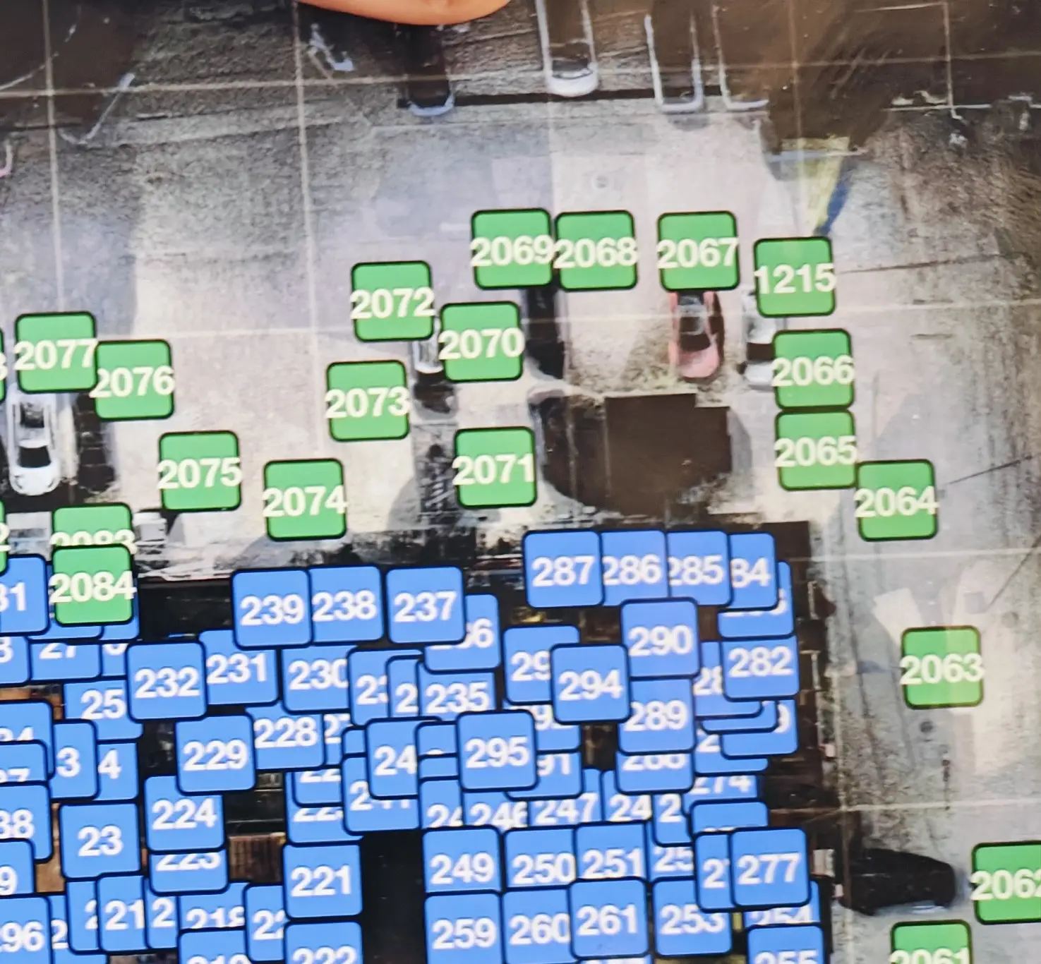
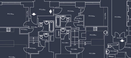
The primary outputs from mobile mapping systems include GIS (Geographic Information System) data, digital maps, and georeferenced images and videos.