RICS standards emphasize the need for precision, defining the accuracy required for each survey and providing guidelines for the collection, interpretation, and presentation of data. These standards are essential for ensuring that topographical surveys meet the specific needs of clients while adhering to best practices in measurement and data quality.
The key elements of a topographical survey based on RICS standards include:
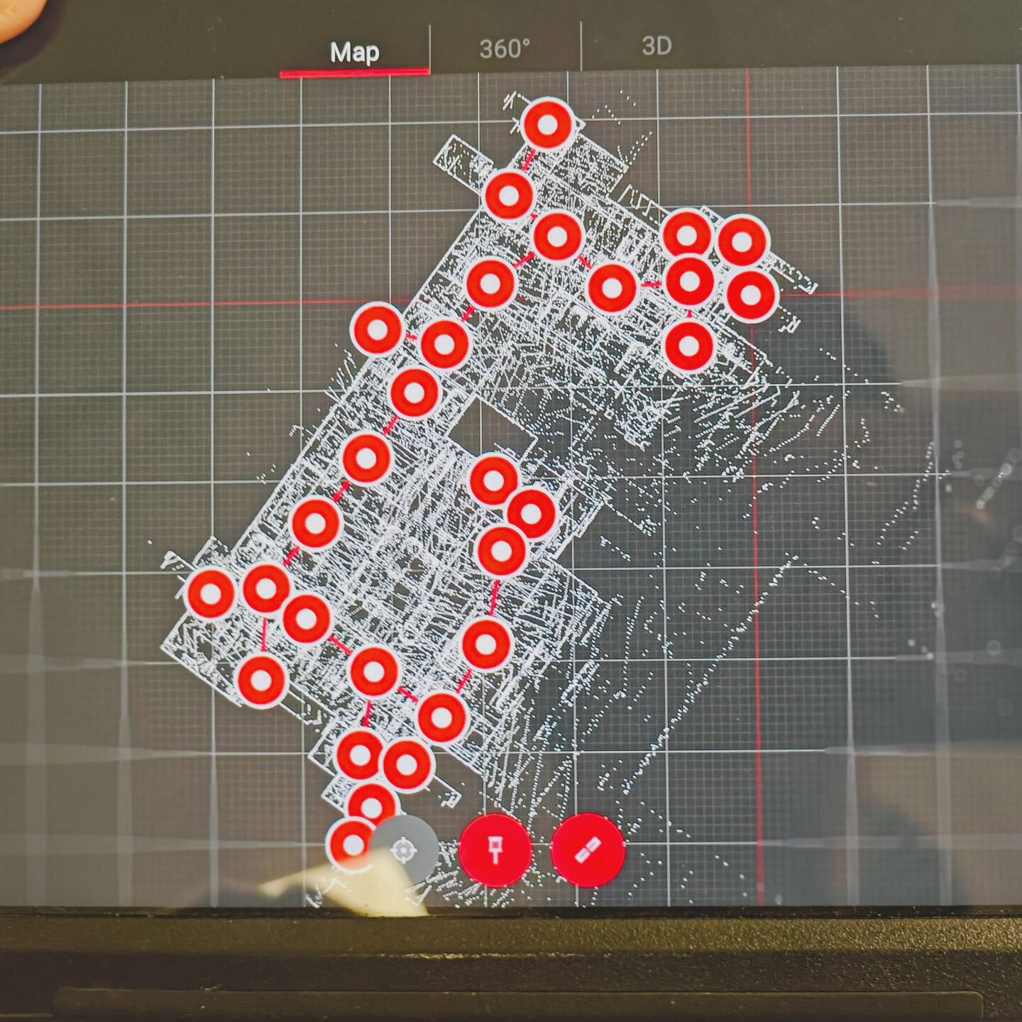
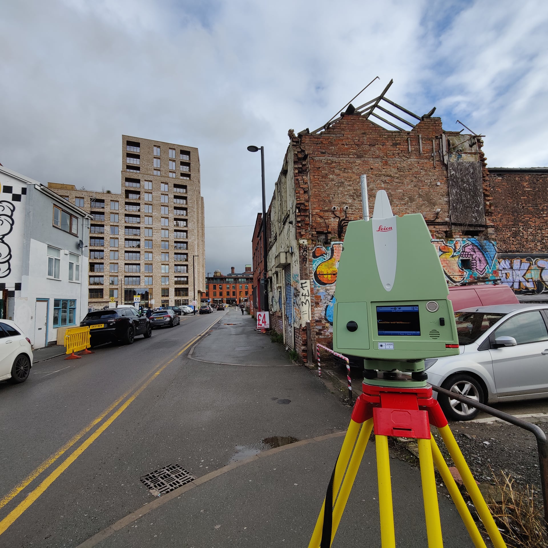
- Accurate data collection: Ensuring that both horizontal and vertical measurements are precise.
- Control networks: Establishing fixed points to provide consistency and accuracy.
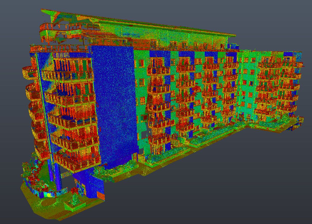
- Clear deliverables: Providing detailed maps and models that represent the land’s features for planning and development projects.
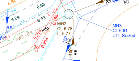
RICS also guides surveyors on handling property boundaries and the integration of utilities, ensuring comprehensive survey outcomes.